Services
Land and Industrial Surveys, Models, Professional Services, and more.
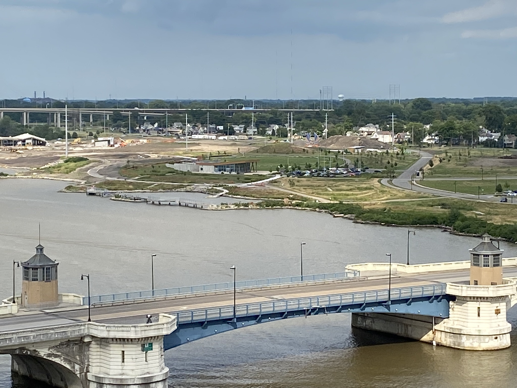
UAV/Drone Aerial Surveys
Aerial photogrammetric measurements for inspection, planning, environmental, topographic, as-builts, and modeling surveys.
Click to ContinueEnergy
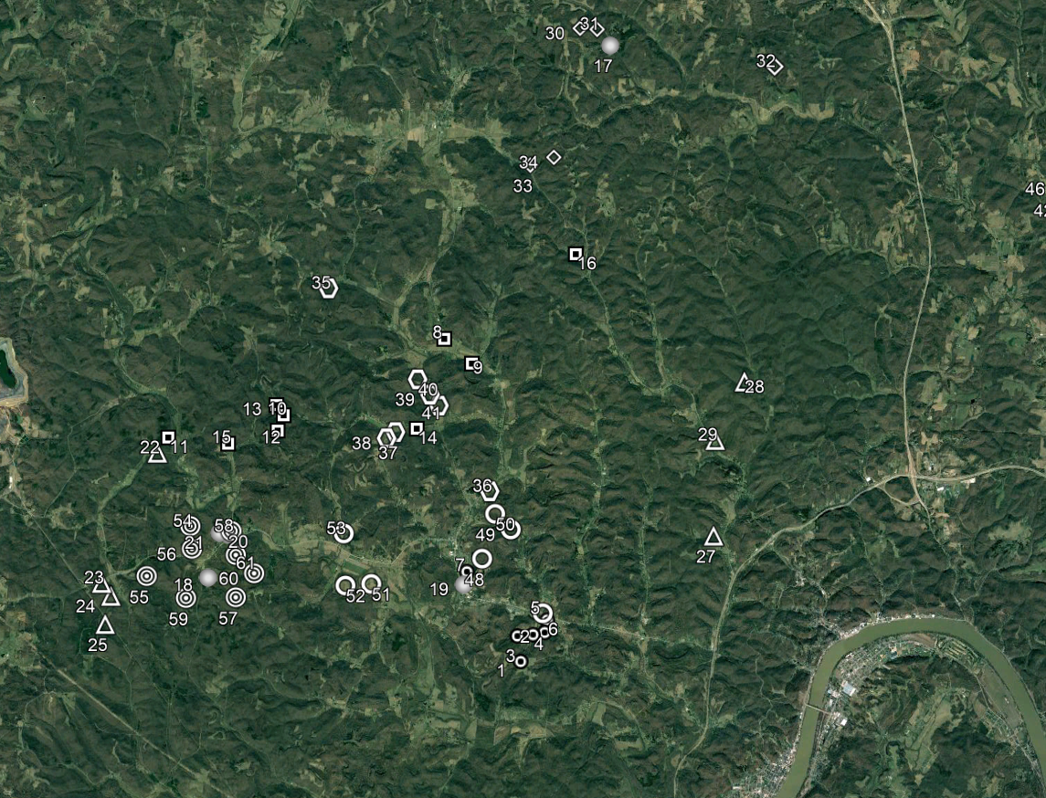
Prequalified in OQ and Safety Compliance, experienced with size and scope, and equipped with advanced pipe-tracking systems, we offer pipeline surveying services from start to finish.
Click to ContinueModels
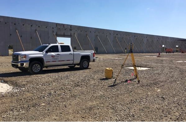
GPS Machine Control is the state-of-the-art method to develop your site, and Garcia Surveyors is at the forefront.
Click to ContinueGPS Site Calibration
File-Equipment-Field communication system for earthwork programs and site preparation.
Click to Continue3D Scanning
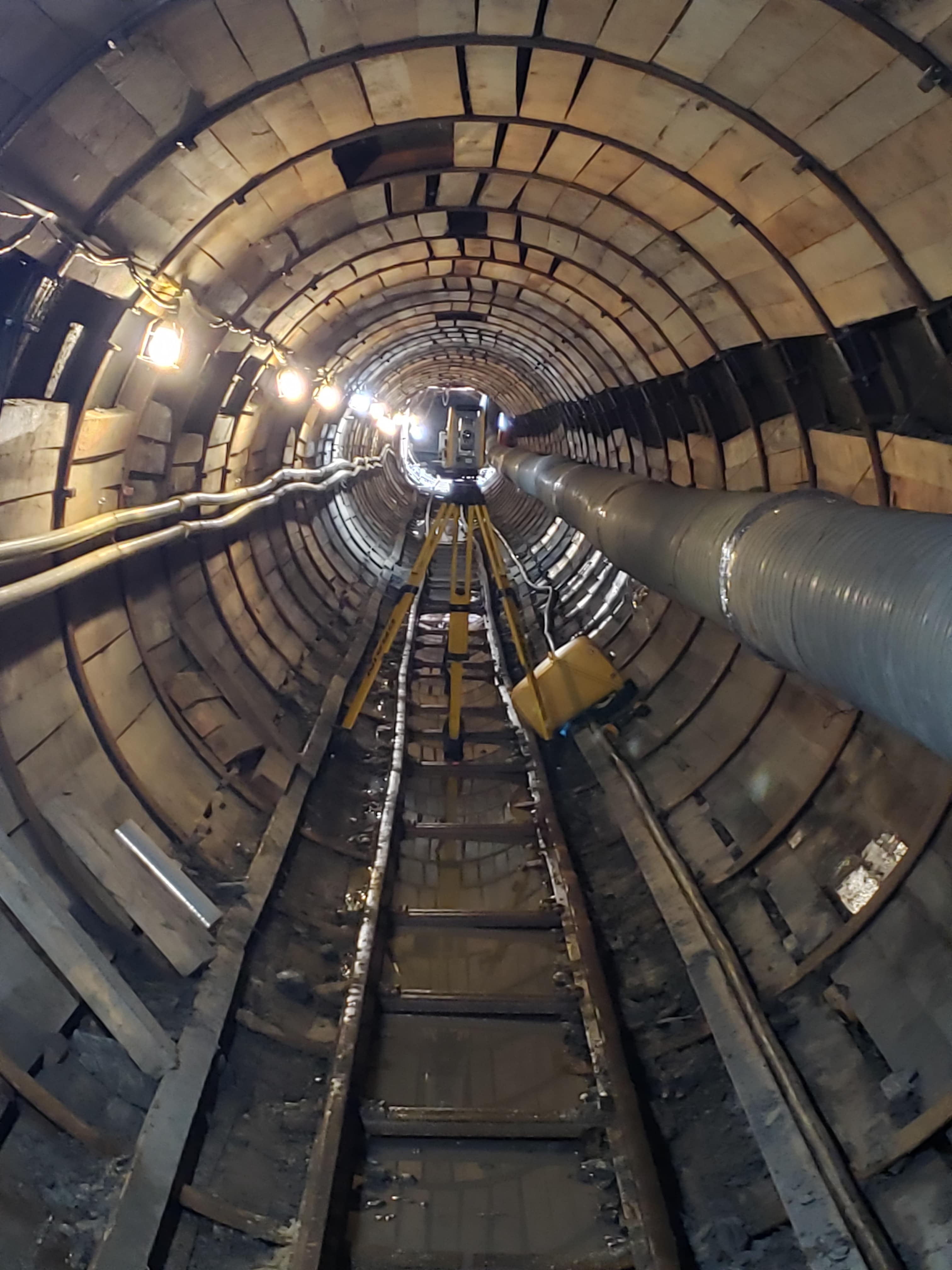
Fully surfaced point clouds & CAD models for architectural, mechanical, engineering design, construction, historical preservation, and more.
Click to ContinueTransportation
The largest layout endeavor in the world, our transportation infrastructure is what keeps everything moving. Railways, airways, waterways, and roadways are how we get anything anywhere.
Click to ContinueCertifications & States
Get a quote.
A fair and accurate price begins with a conversation. Contact us today.
Click to continue“We have contracted Garcia Surveyors for numerous projects over the past several years. Throughout these projects they have worked closely with our staff and were very responsive to our requests. I recommend Garcia Surveyors.” — - County Engineer


